The Hoarde Vintage - www.thehoarde.com
Sellers's Details
LONDON FINE ANTIQUES
Tel:
Email: [email protected]
https://www.thehoarde.com/dealers/london-fine-antiquesItem Details
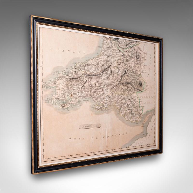
This is an antique region map of South Wales. An English, framed atlas engraving of cartographic interest by John Cary, dating to the Georgian period, circa 1810.
Superb lithography of South Wales in excellent detail, perfect for display
Displaying a desirable aged patina and in good original order
Fascinating cartography, appealingly set within a quality, later frame
With an ebonised finish and gilt edging, the frame adding to the appeal
Hand-coloured borders, coasts and places of interest accentuate the map
Published by the estimable map maker John Cary in April 1811
Almost certainly an original entry of Cary's New English Atlas
Frame dressed to the rear with hanging cord for ease of mounting
This is a quality antique region map of South Wales, with fine cartographic interest. Delivered ready to display.
Dimensions:
Max Width: 63cm (24.75'')
Max Depth: 2cm (.75'')
Max Height: 54.5cm (21.5'')
Map Width: 56cm (22'')
Map Height: 48cm (19'')
- Period: 1810s
-
- Price: £425.00
- €502 Euro
- $562 US Dollar
- Location: Devon
-
- Dimensions: H: 54.5cm (21.46in)
- W: 63cm (24.80in)
- D: 2cm (0.79in)