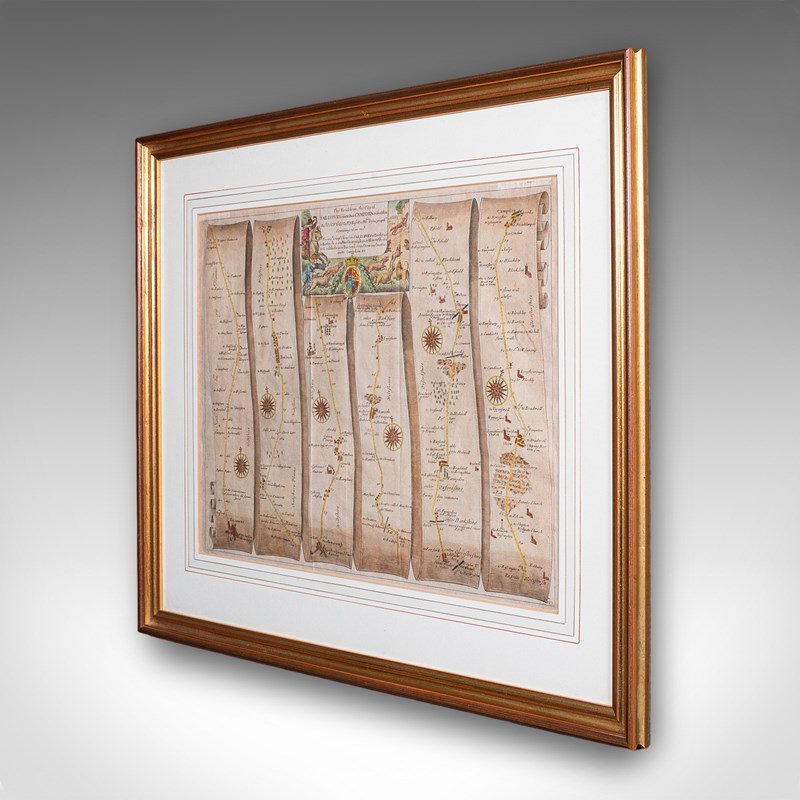
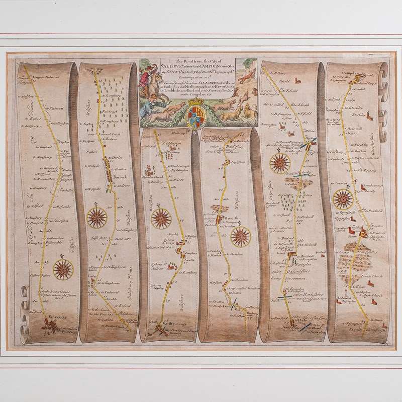
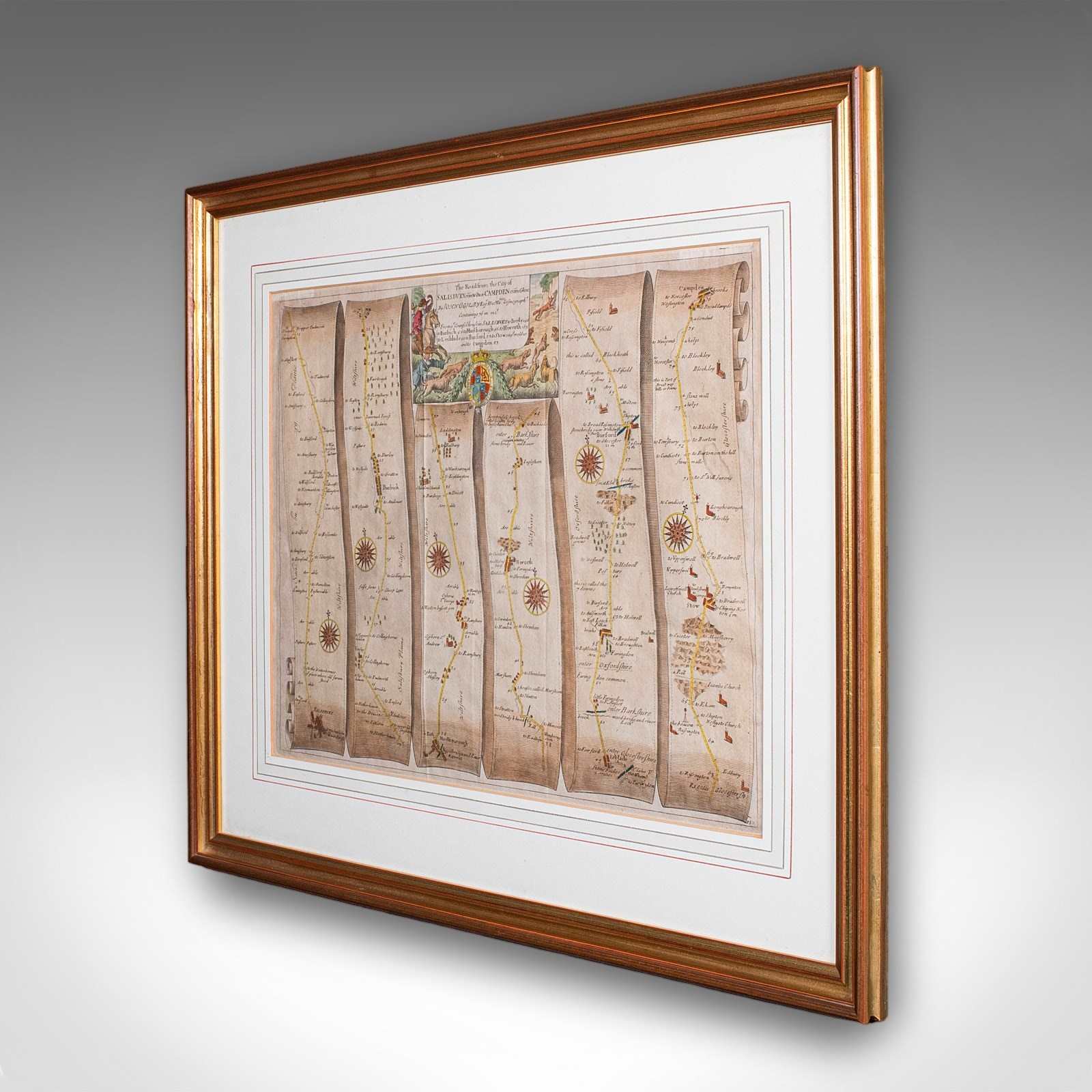
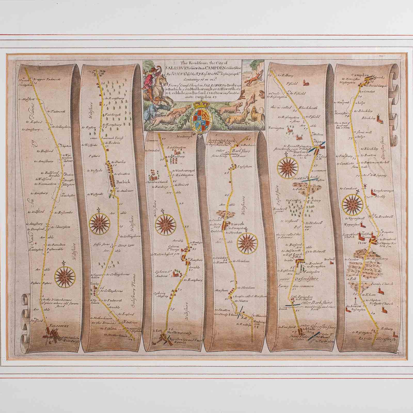
Antique Coaching Map, Salisbury To Campden, English, Framed Cartography, Ogilby
Stock No
26073
2024
- £695.00
- €822 Euro
- $920 US Dollar
Questions about this item?
Like this item?
Item Description
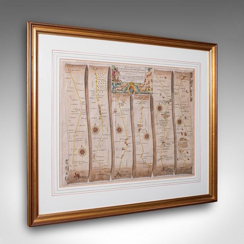
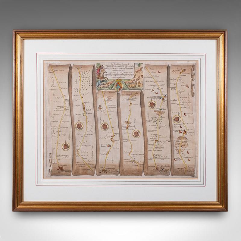
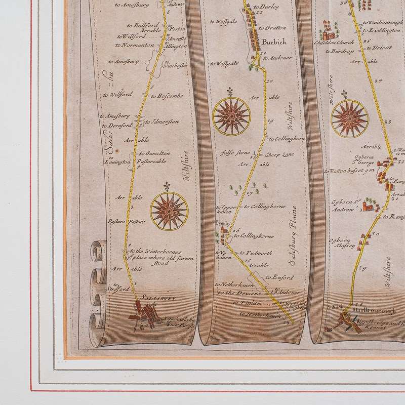
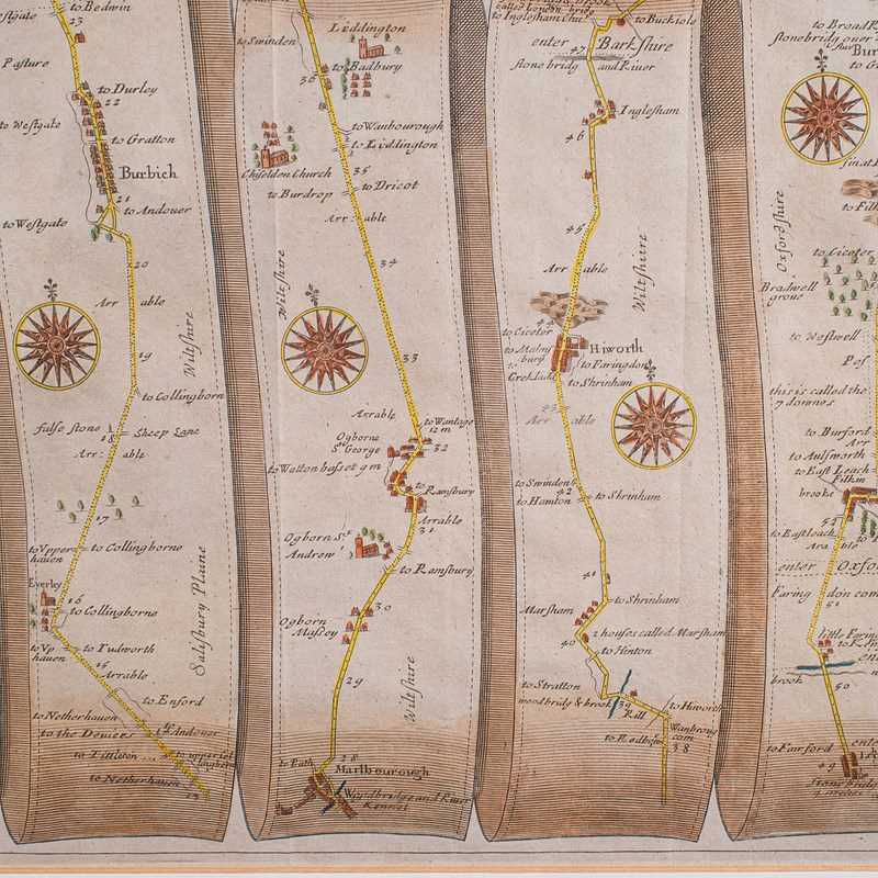
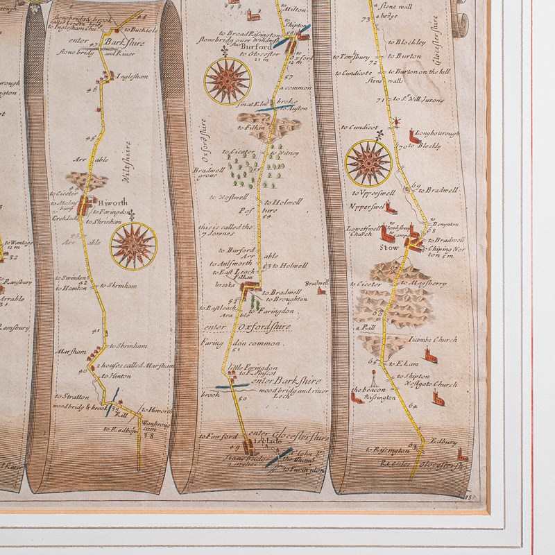
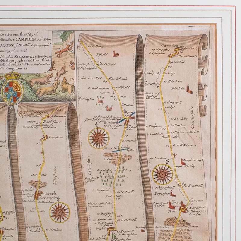
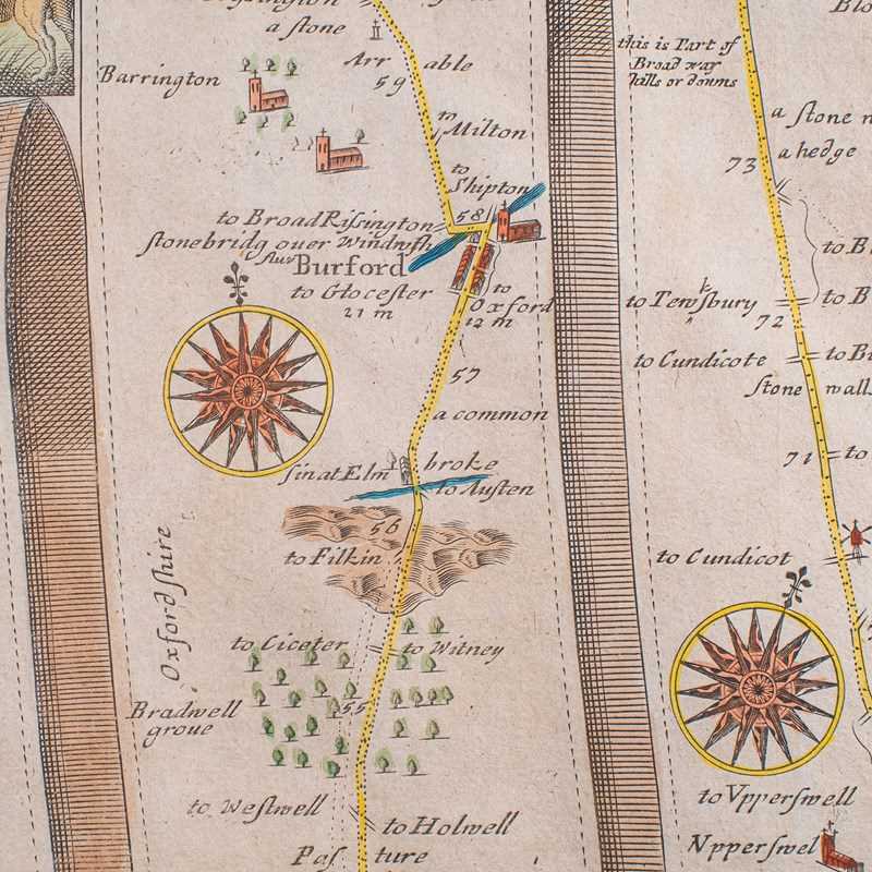
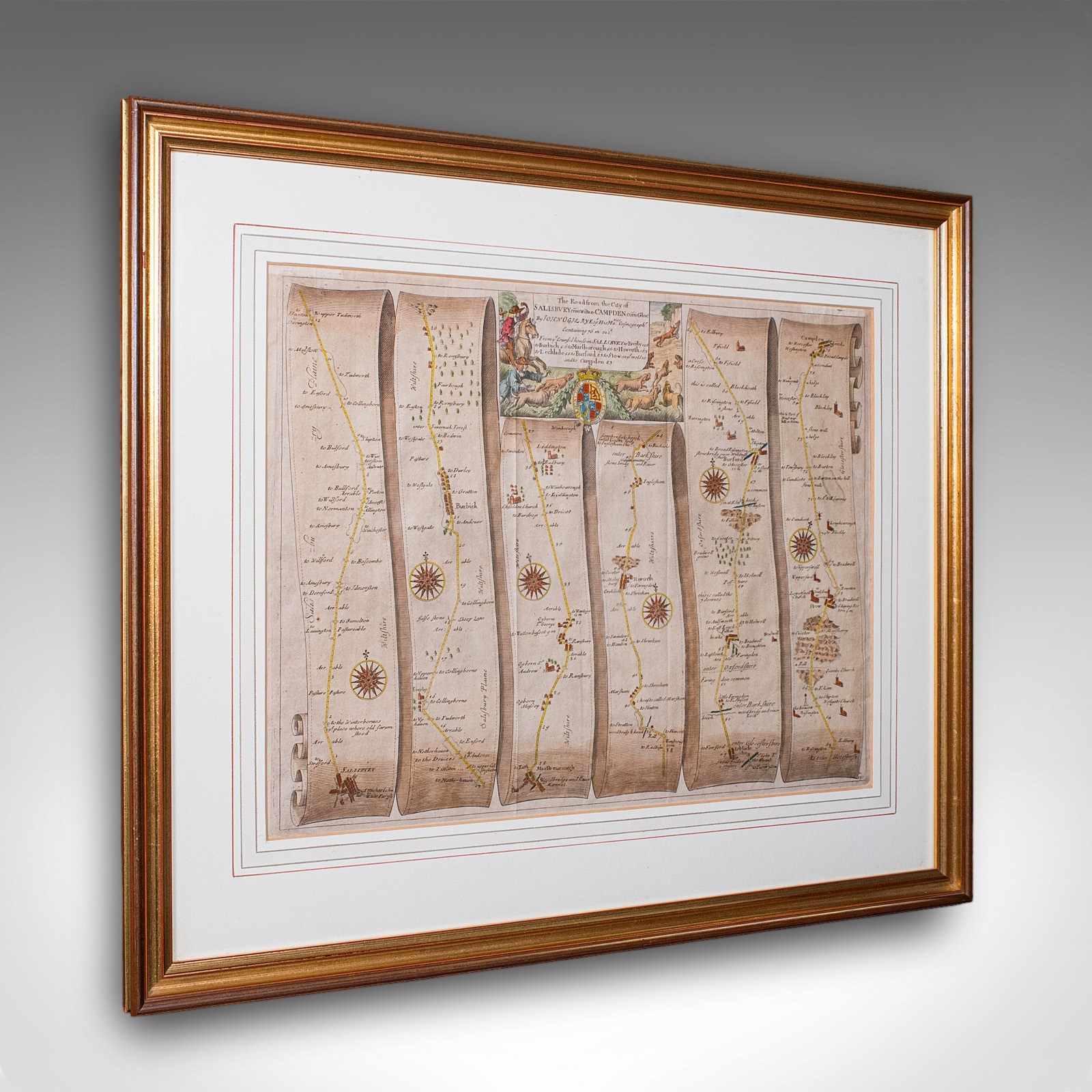
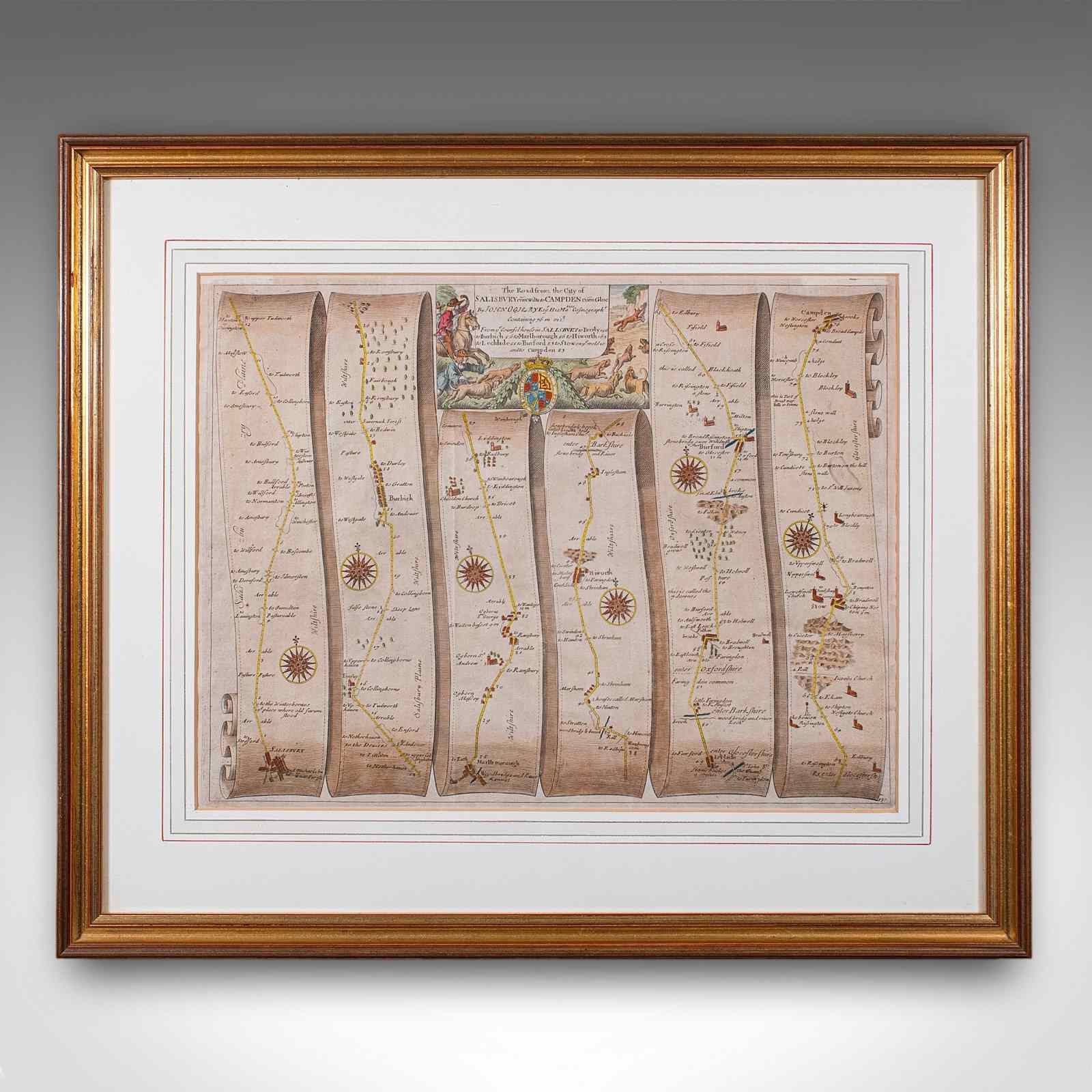
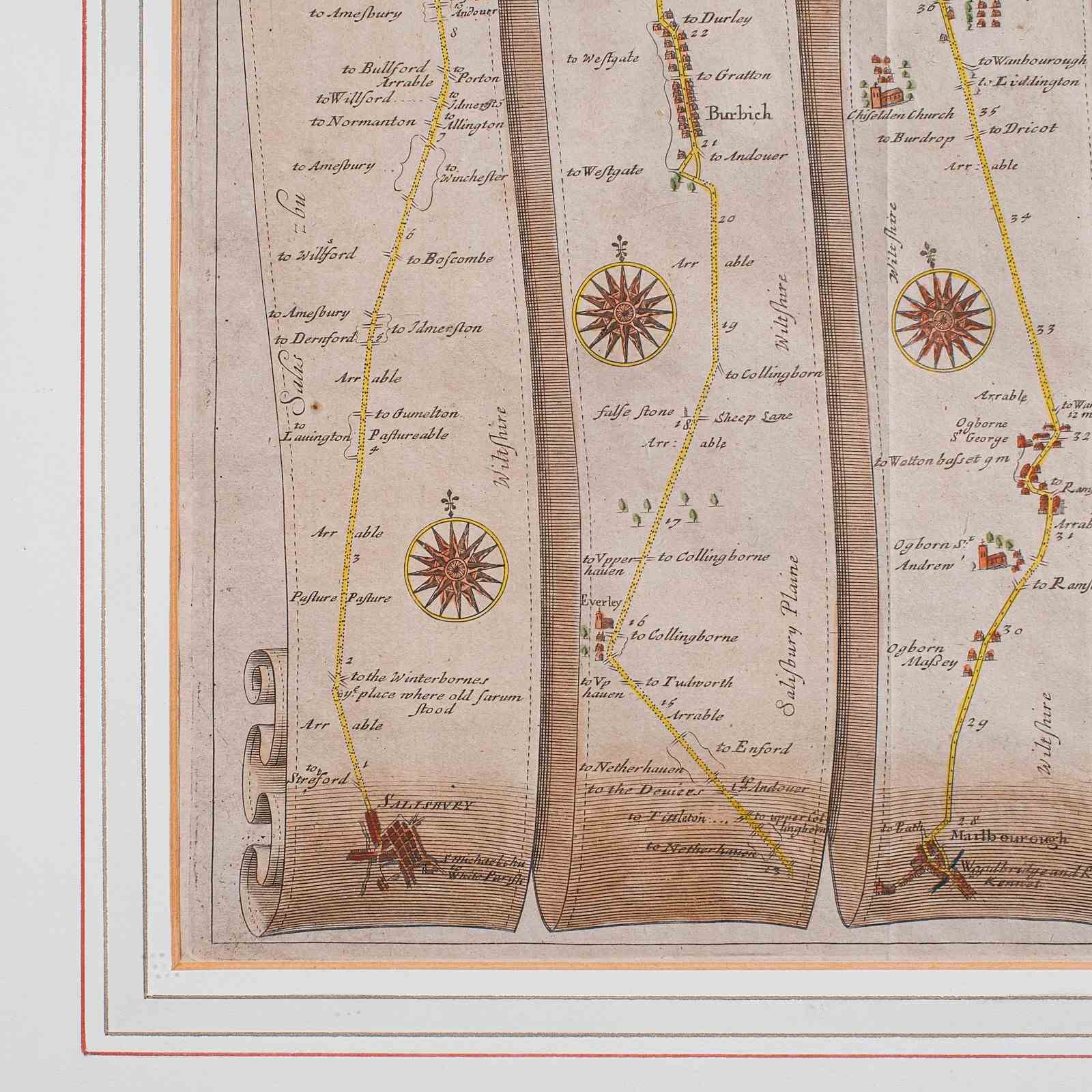
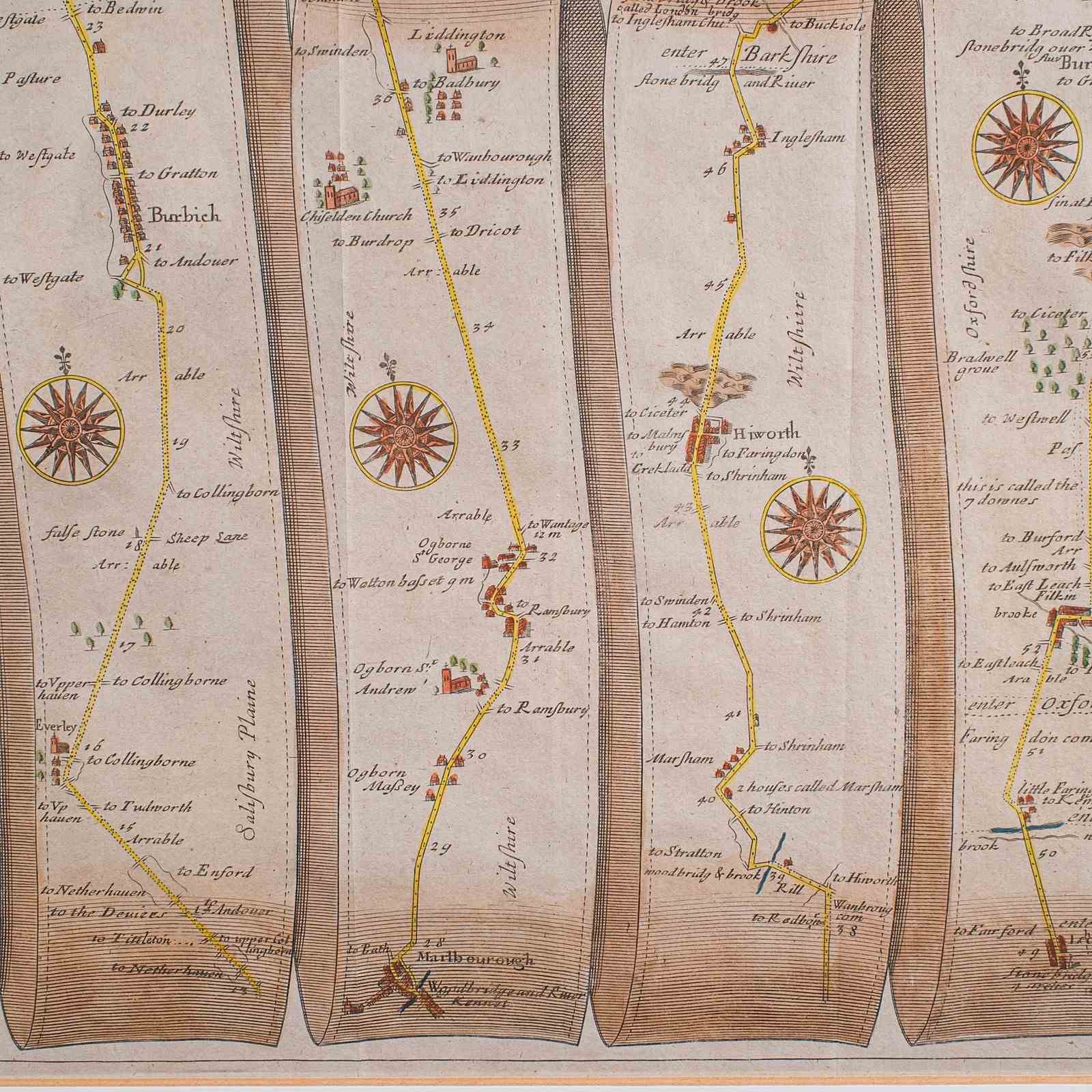
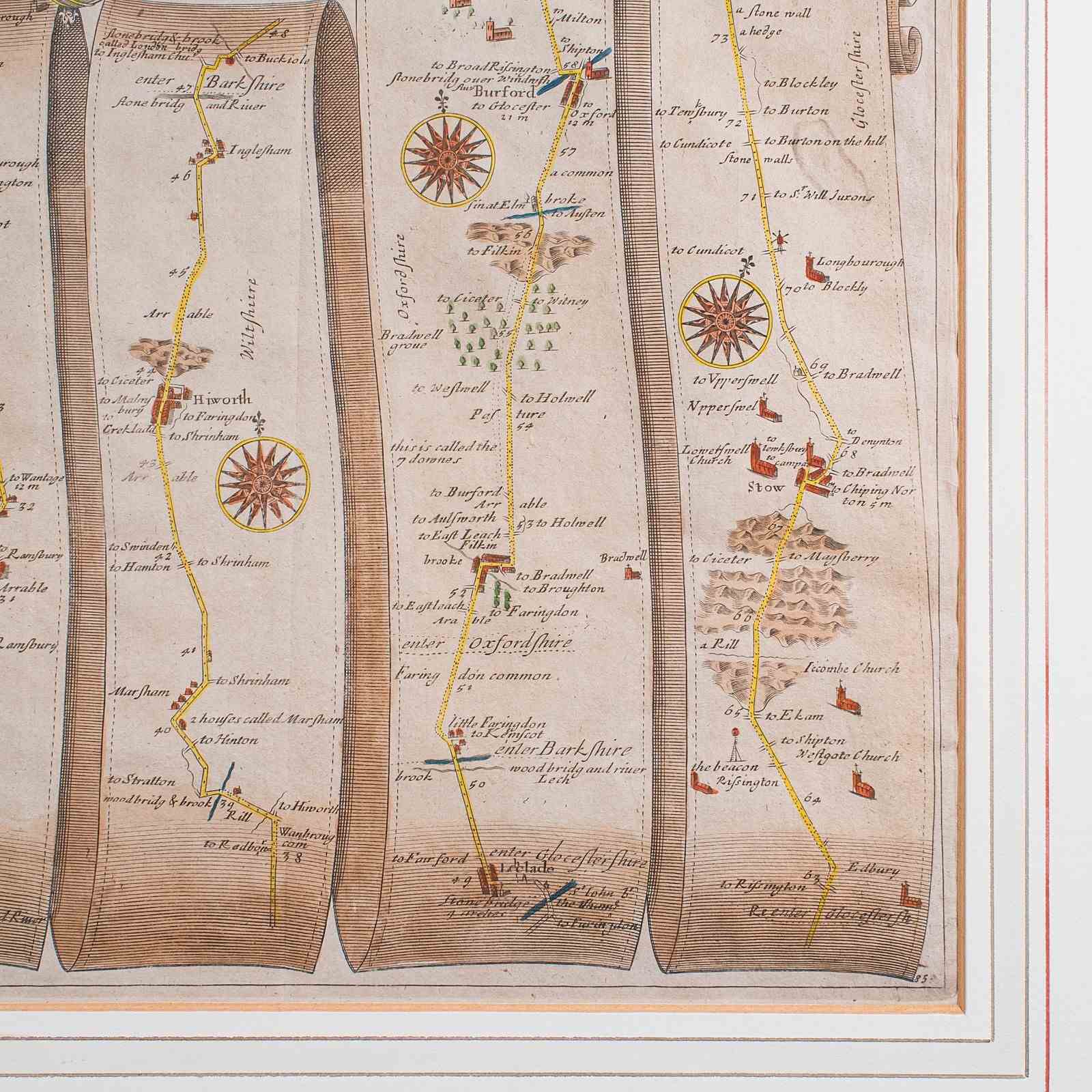
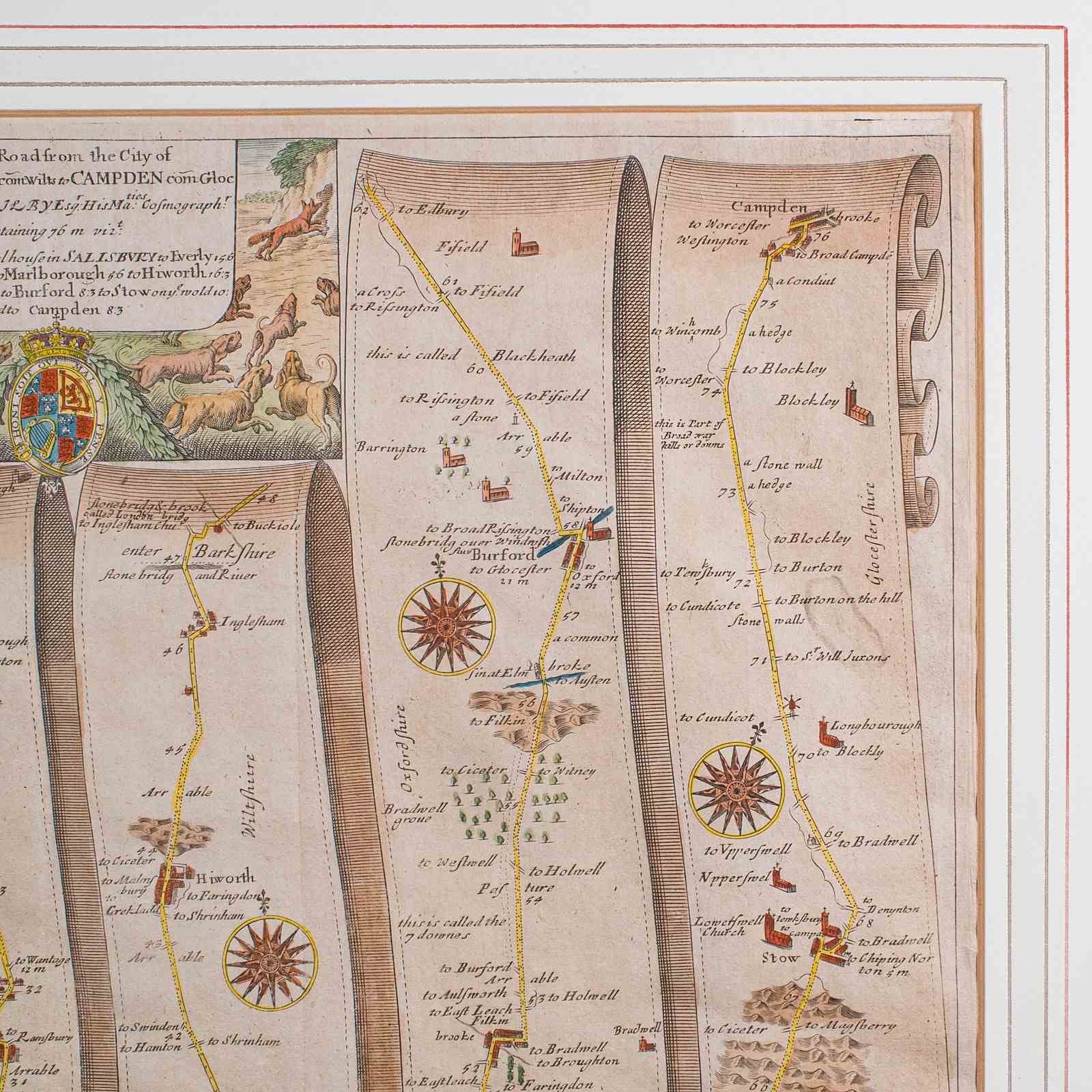
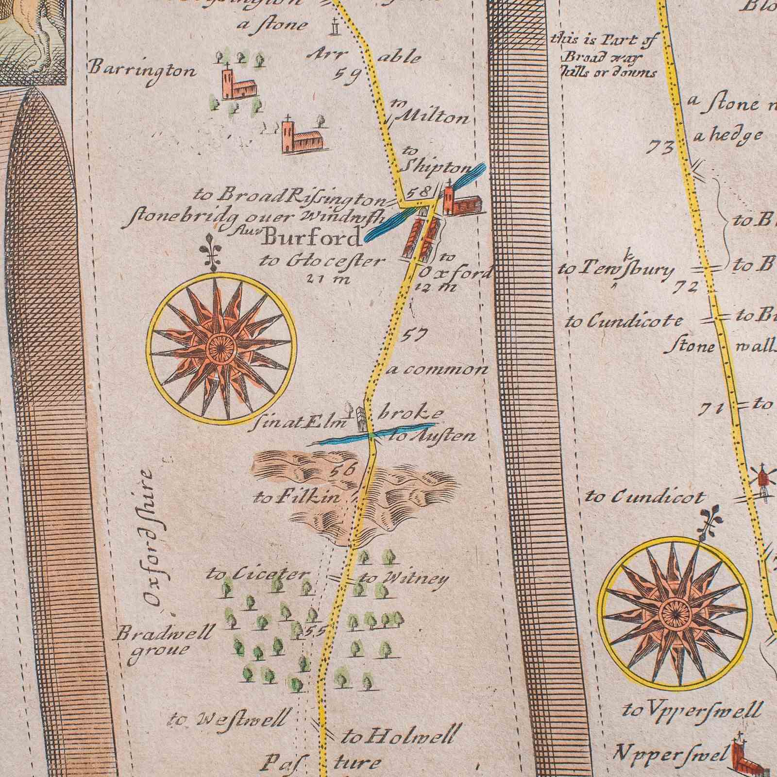
This is an antique coaching road map of Salisbury to Campden. An English, framed cartography lithograph of regional interest, dating to the mid 17th century and later.
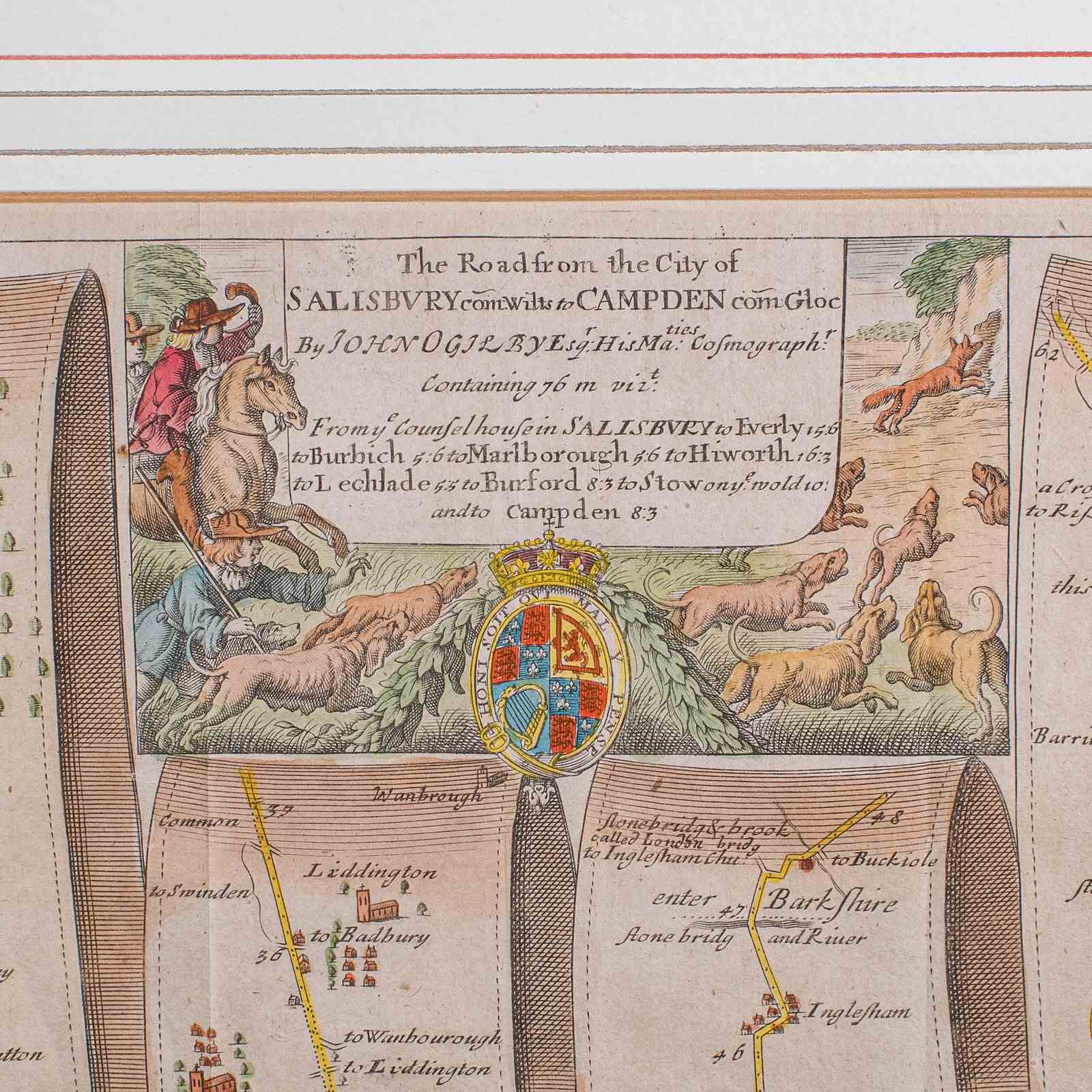
Fascinating 17th century highway cartography by John Ogilby (Scottish, 1600-1676)
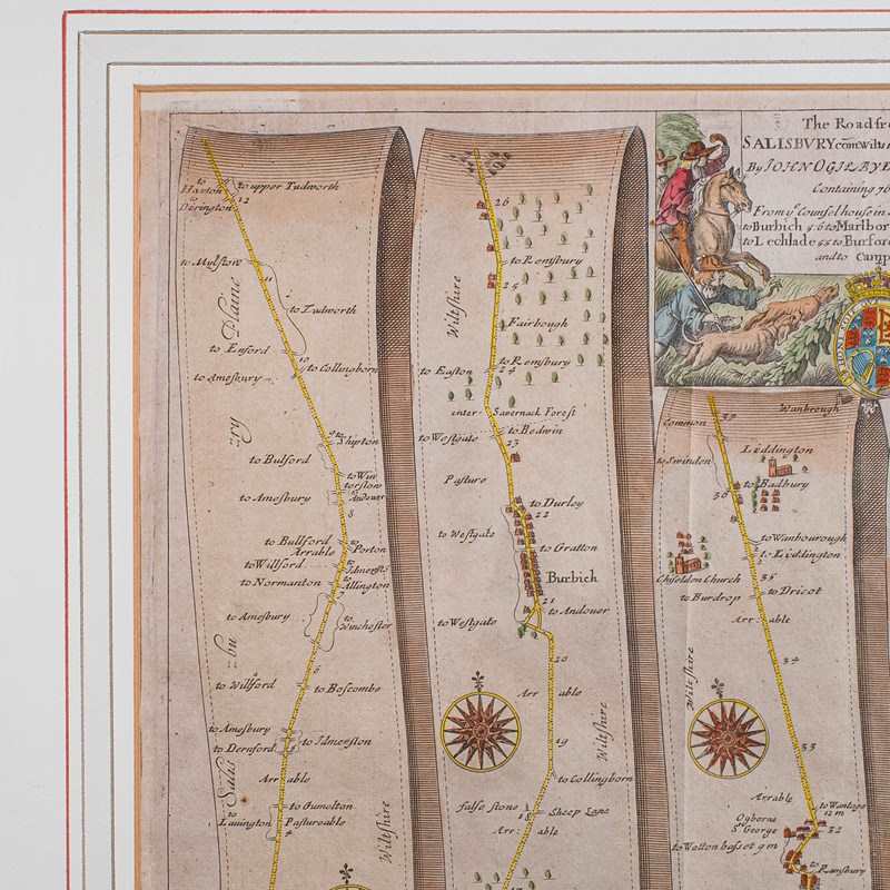
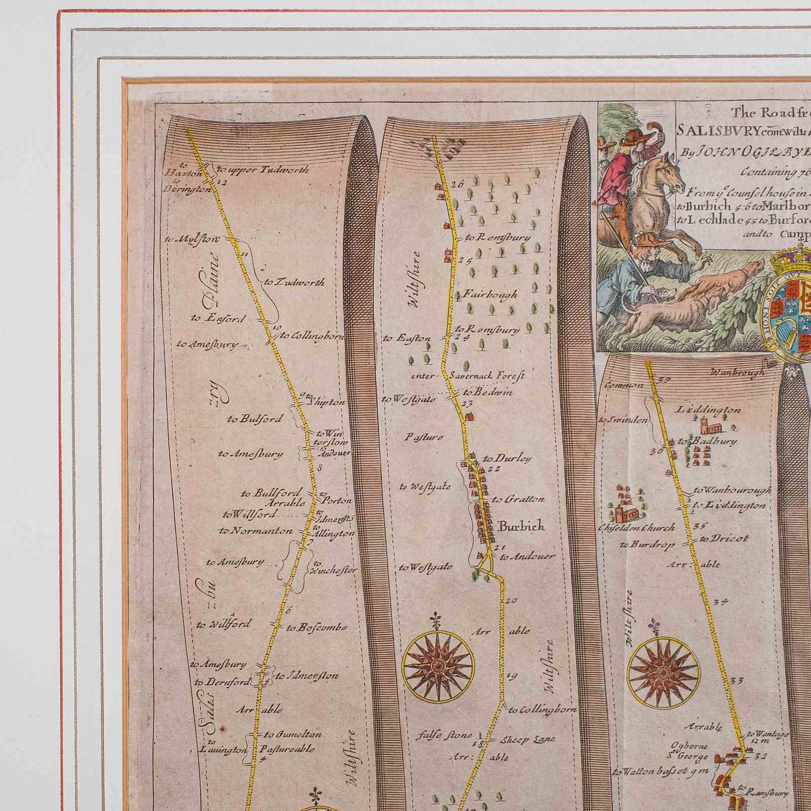
Displaying a desirable aged patina and in very good order
Unusual and charming, appealingly set within a quality, later frame
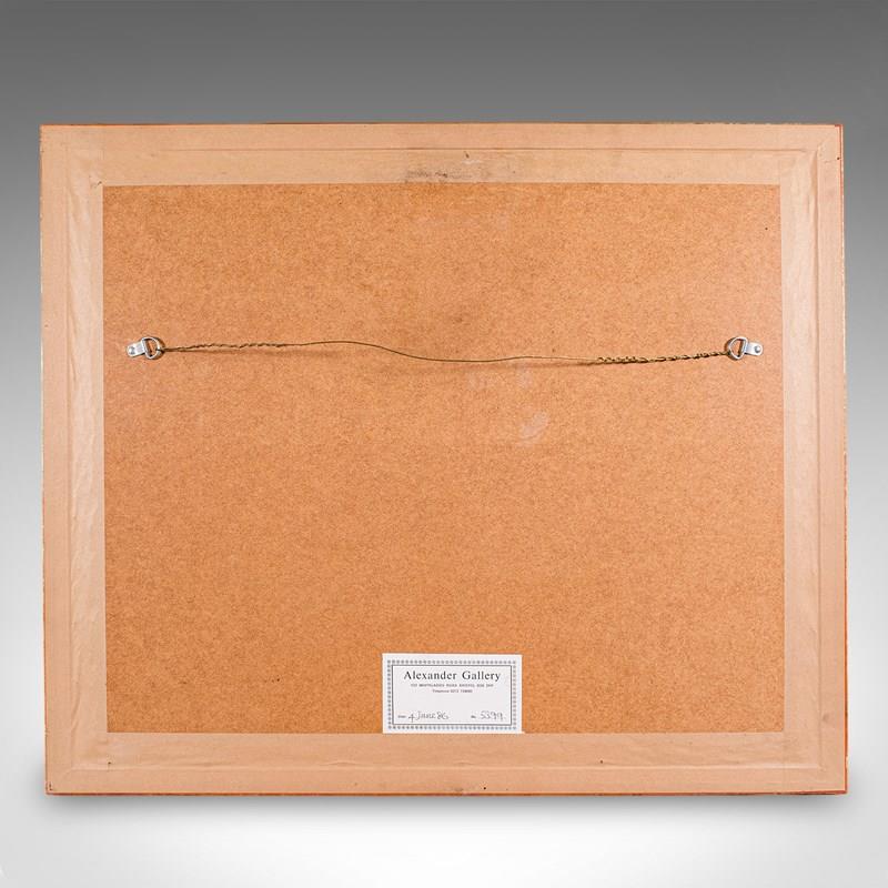
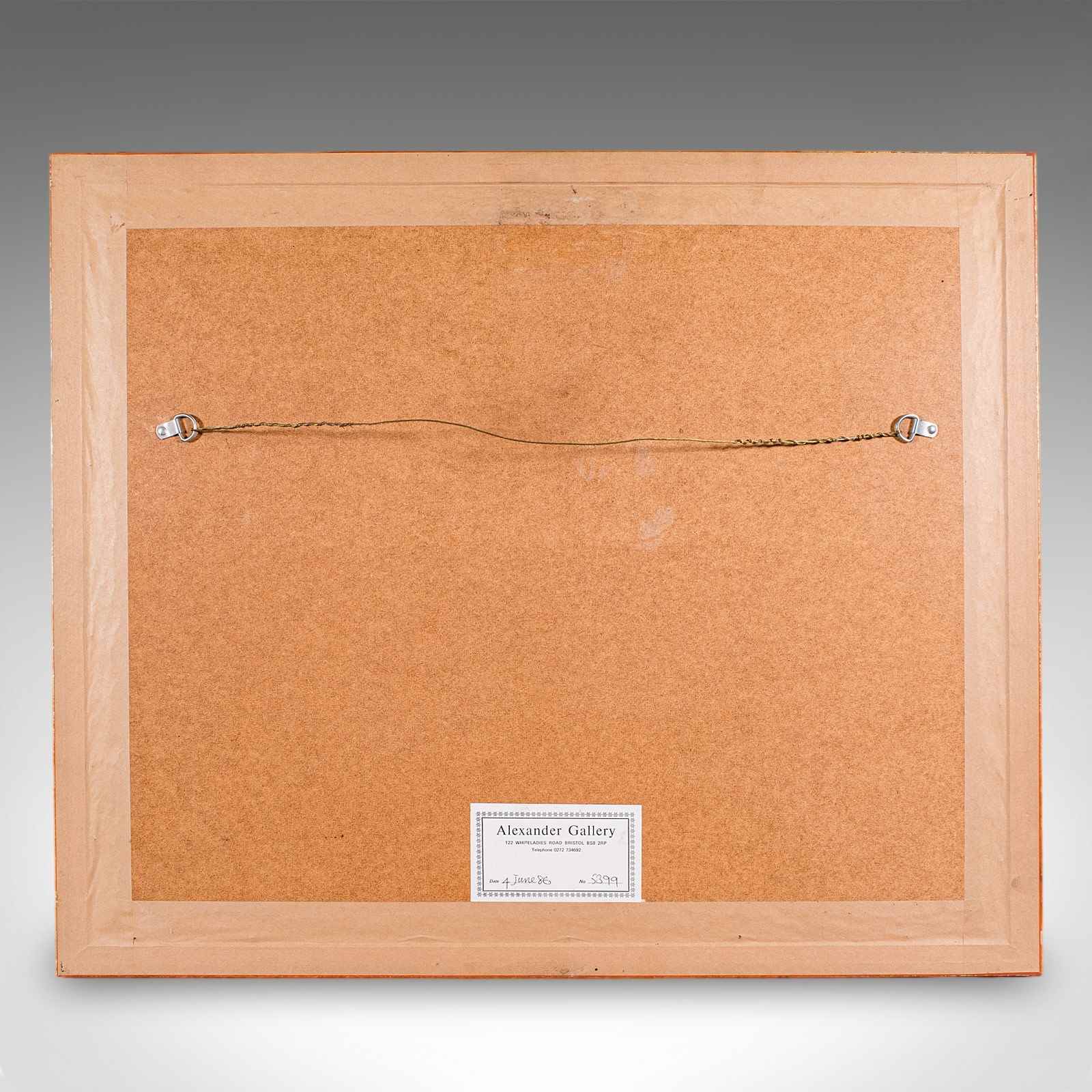
The framing dated to forty years ago in 1986, with label to the reverse
Details the routes and points of interest along the way from a romanticised period of British history
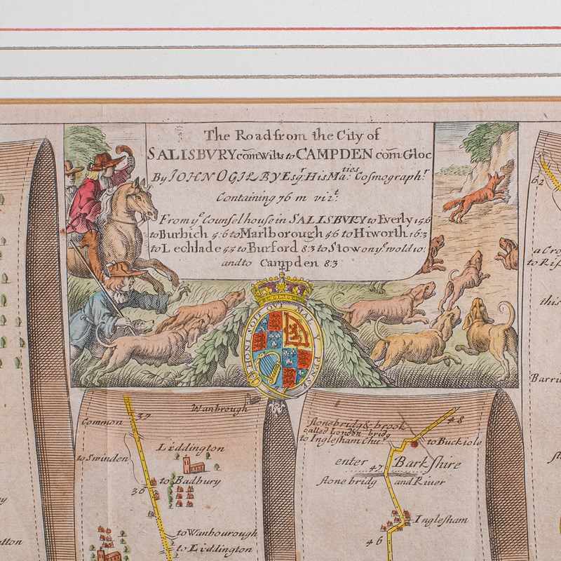
Presents a coaching route distance of 76 miles, from the county of Wiltshire to Gloucestershire
Hand coloured to great effect, with a decorative title box presenting animal and heraldic motif
Dressed to the rear with hanging wire for ease of mounting
This is a quality antique coaching road map of Salisbury to Campden, with fine cartographic interest to the quality lithography. Delivered ready to display.
Dimensions:
Max Width: 62.5cm (24.5'')
Max Depth: 2.5cm (1'')
Max Height: 53cm (20.75'')
Map Width: 45.5cm (18'')
Map Height: 34.5cm (13.5'')
Item Info
Seller
Seller Location
Hele, Devon
Item Dimensions
H: 53cm W: 62.5cm D: 2.5cm
Period
1660s
Item Location
United Kingdom
Seller Location
Hele, Devon
Item Location
United Kingdom
Seller Contact No
+44 (0)207 1833511