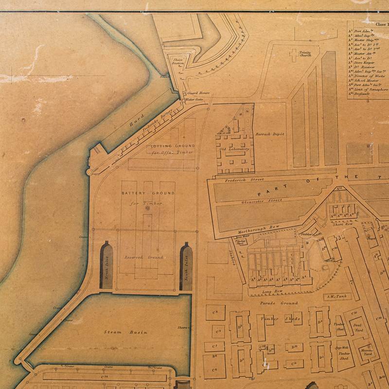
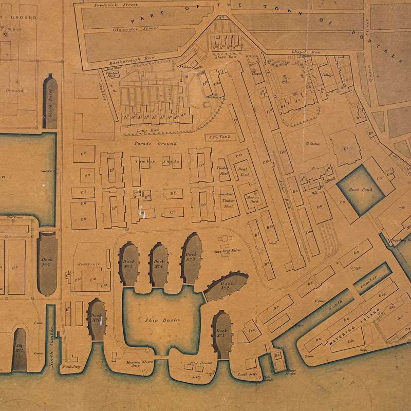
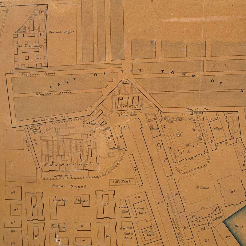
Antique Town Plan, Portsmouth Dockyard, English, Framed Cartography, Victorian
Stock No
26074
2024
- £495.00
- €585 Euro
- $655 US Dollar
Questions about this item?
Like this item?
Item Description
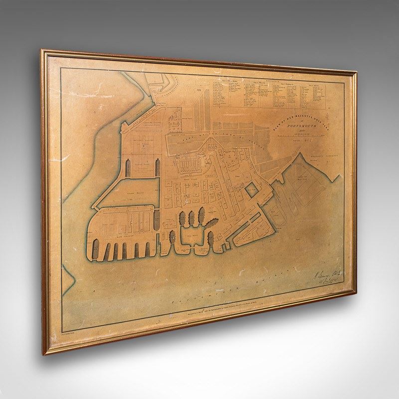
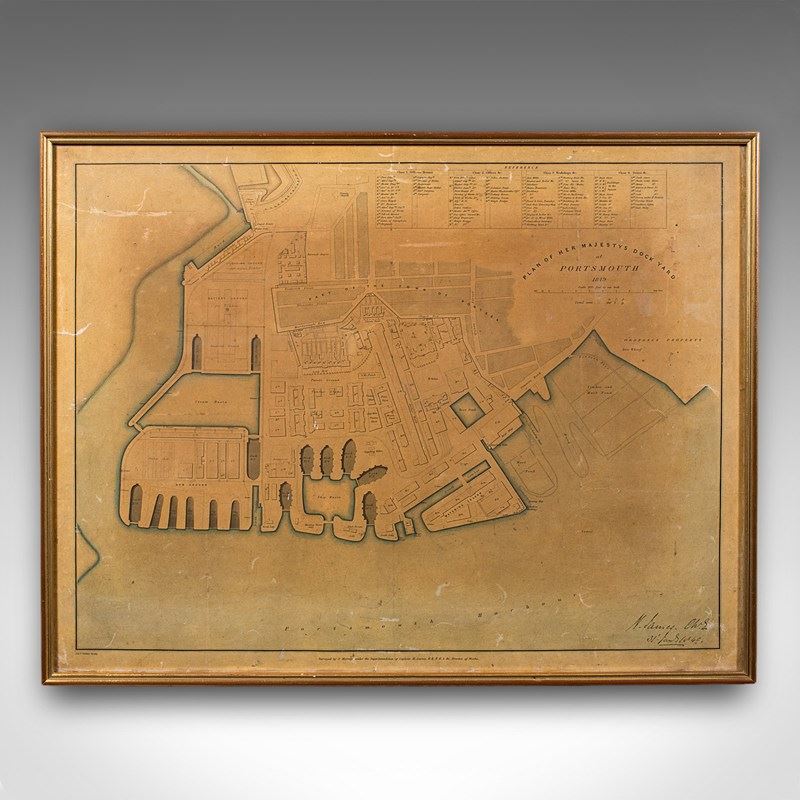
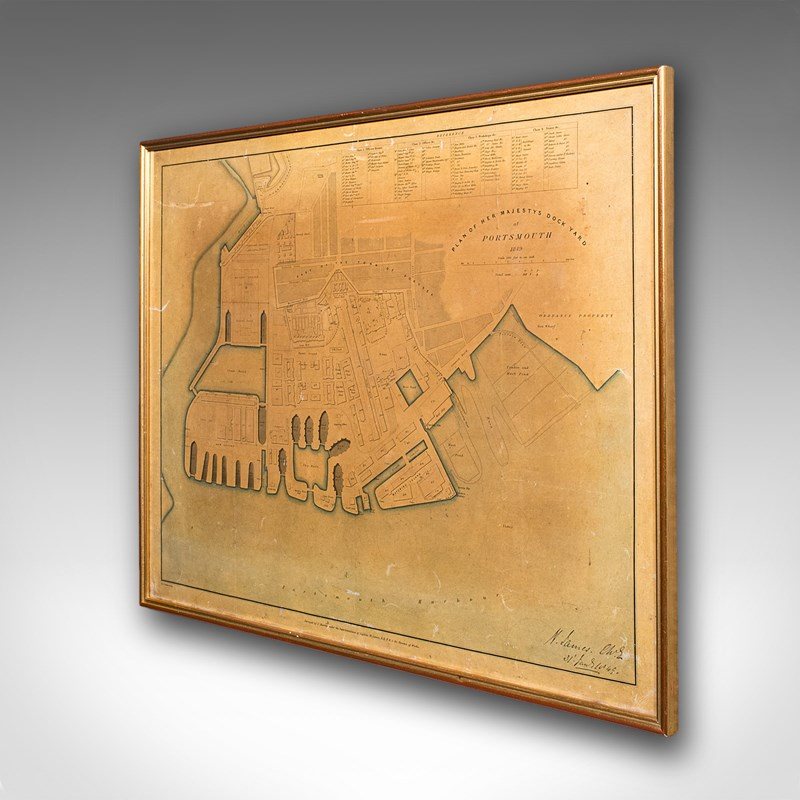
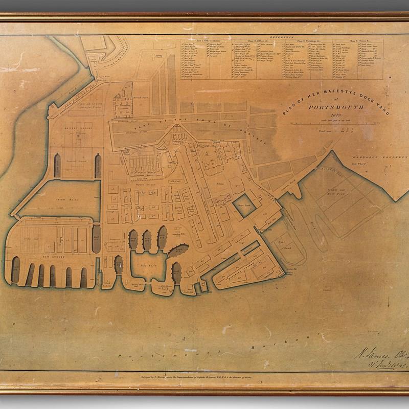
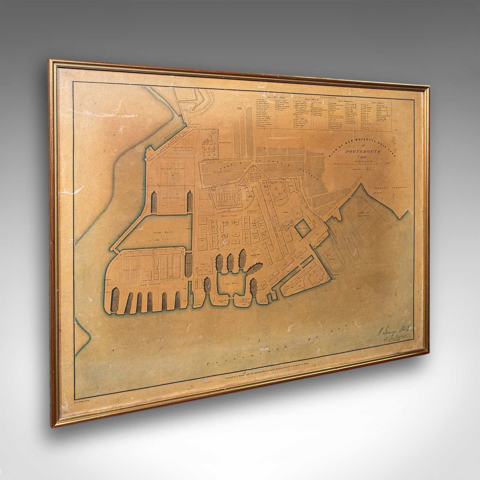
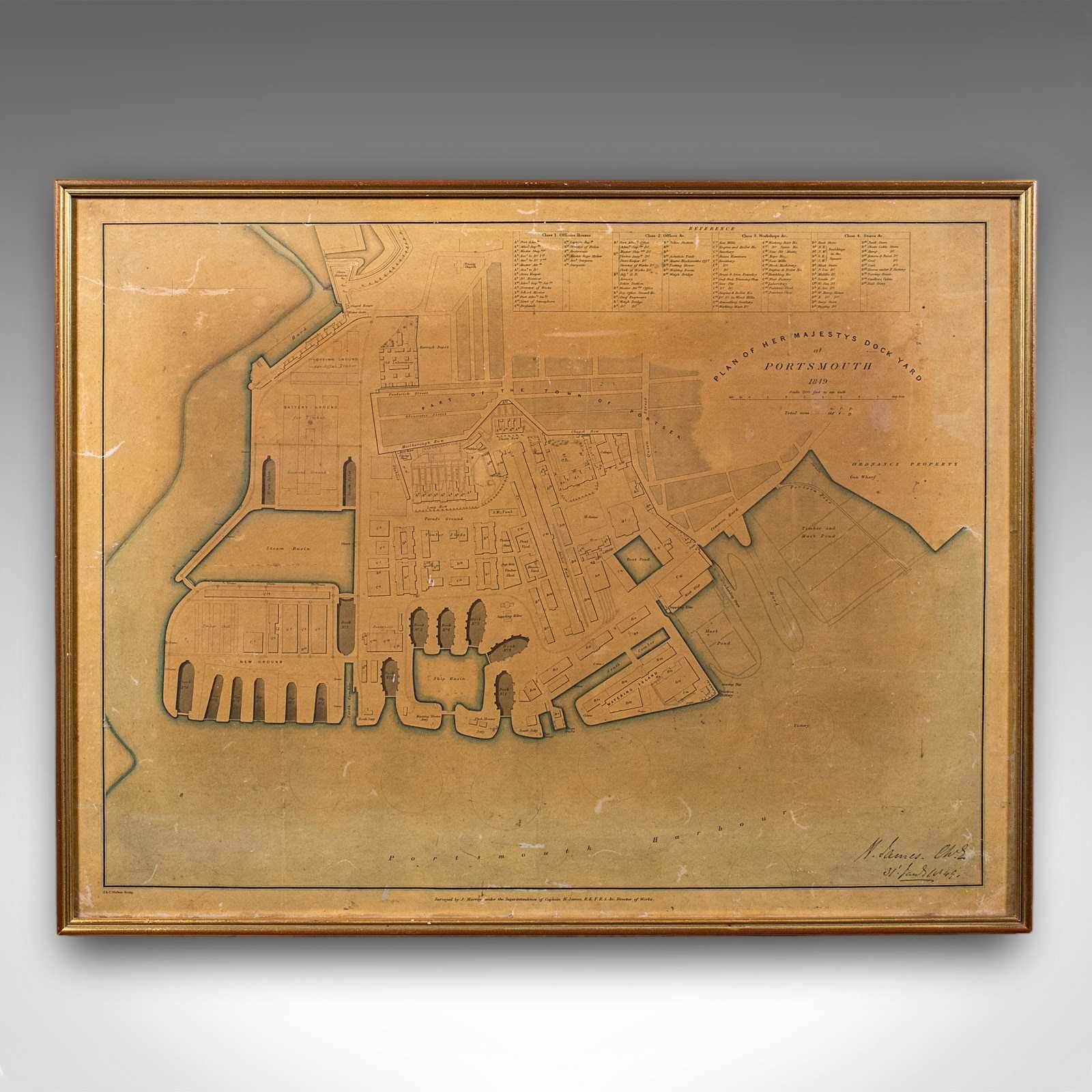
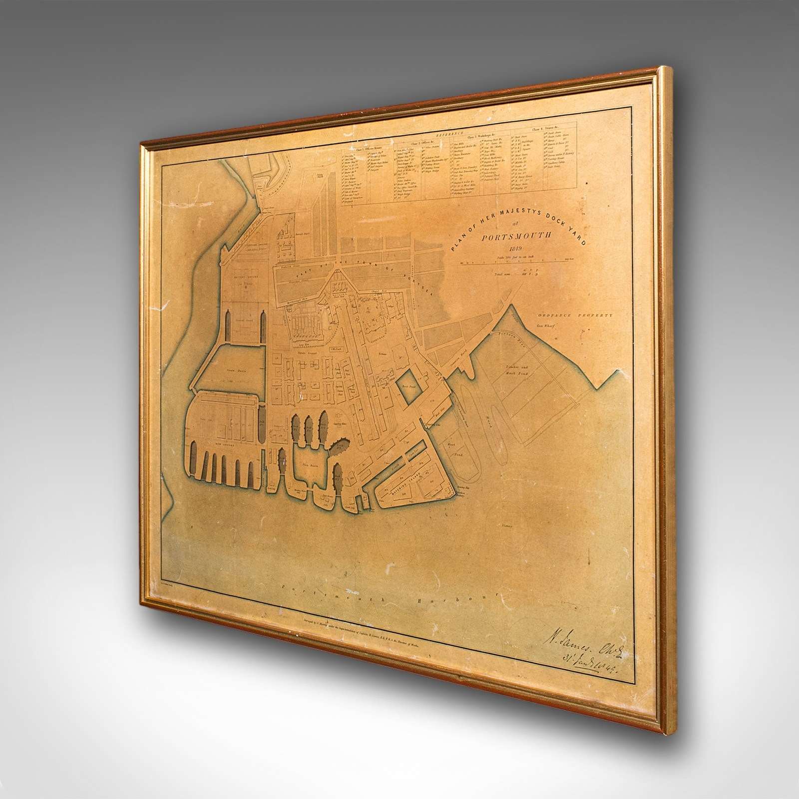
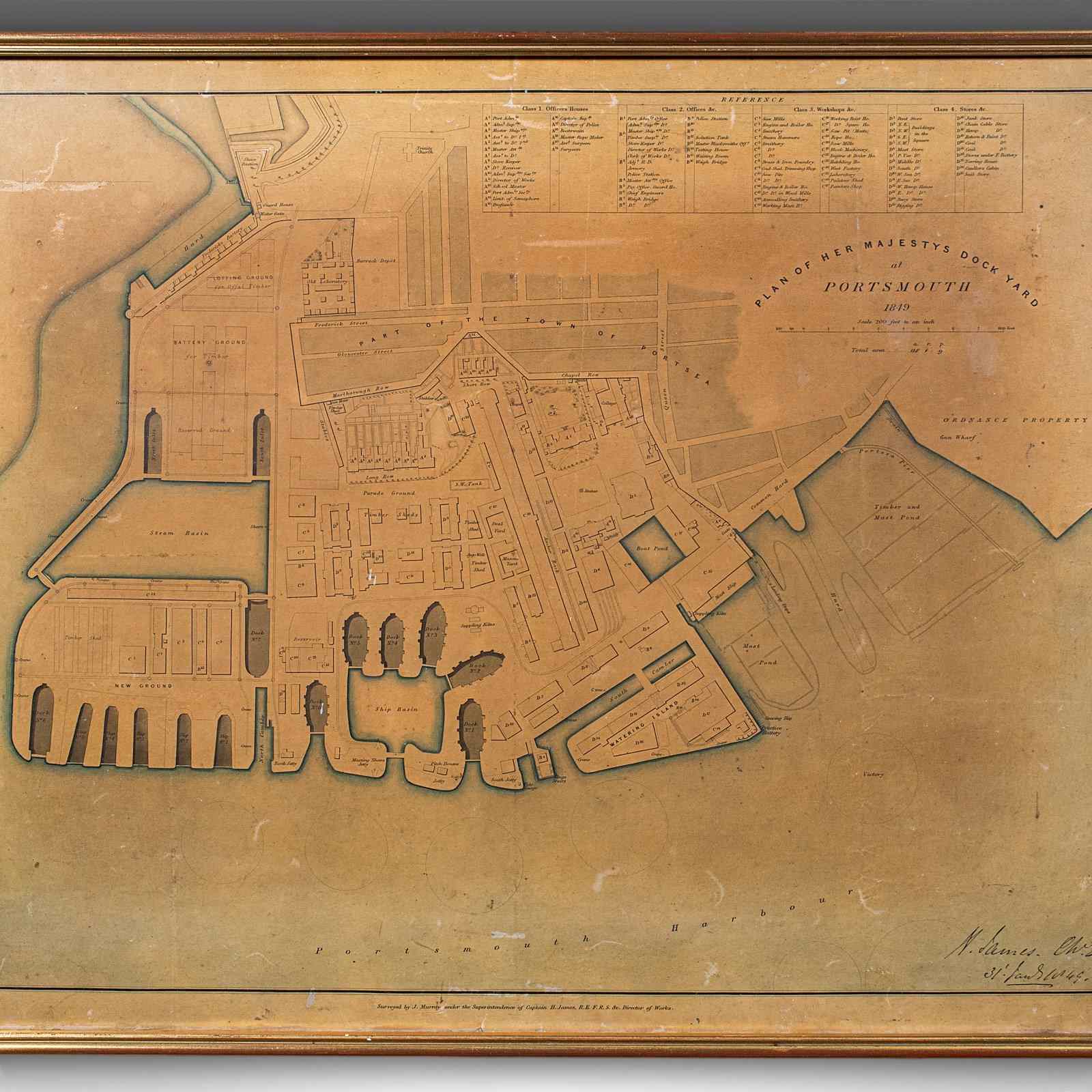
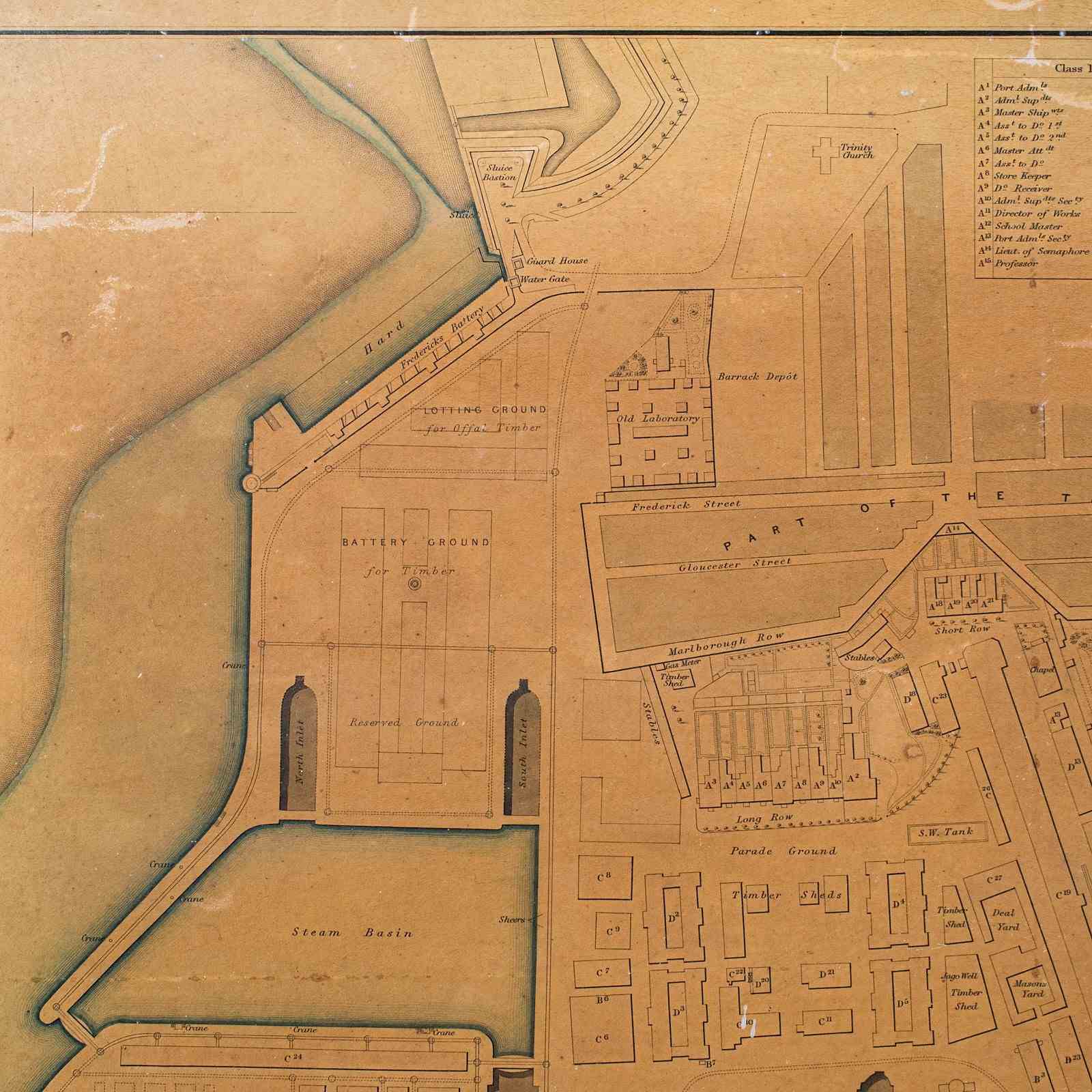
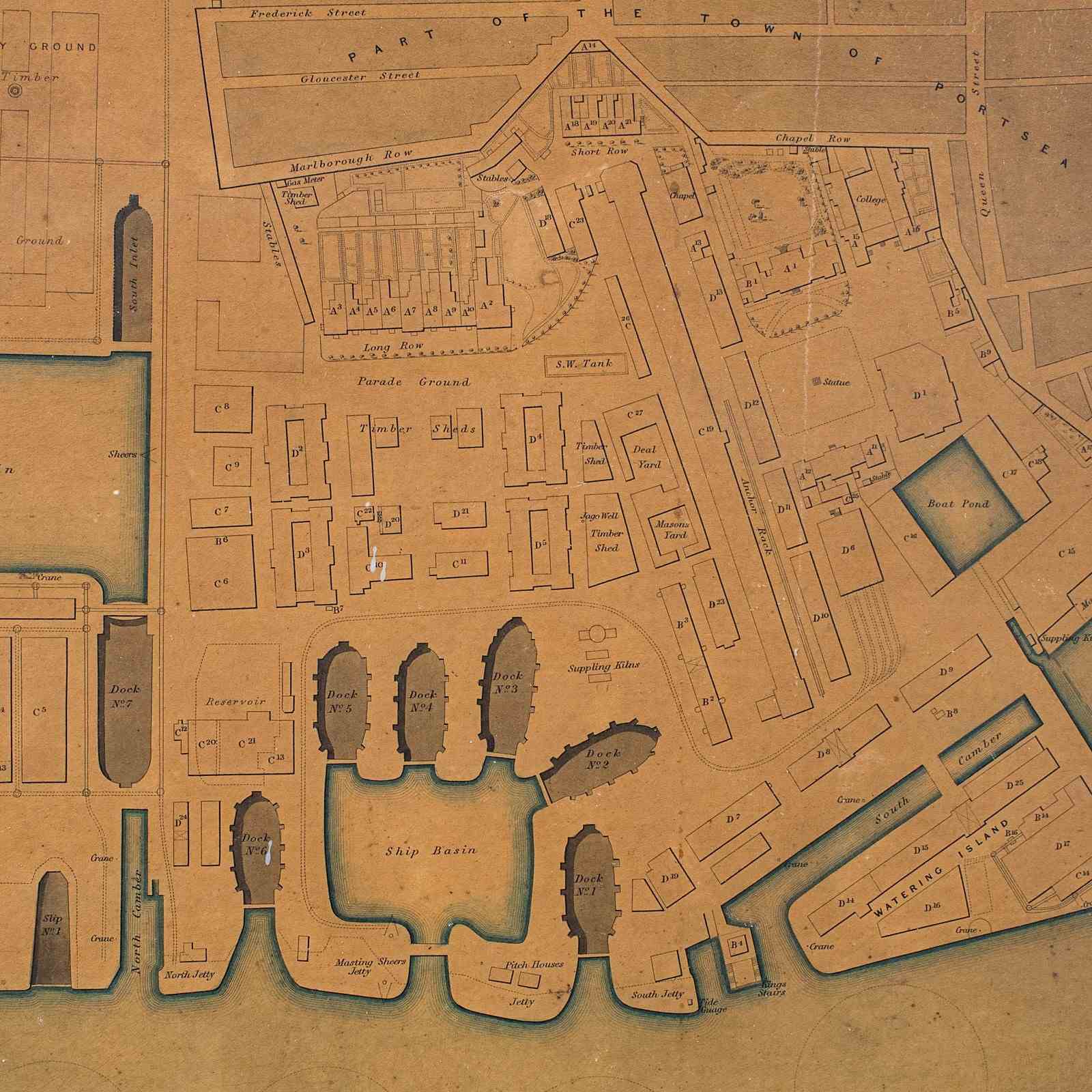
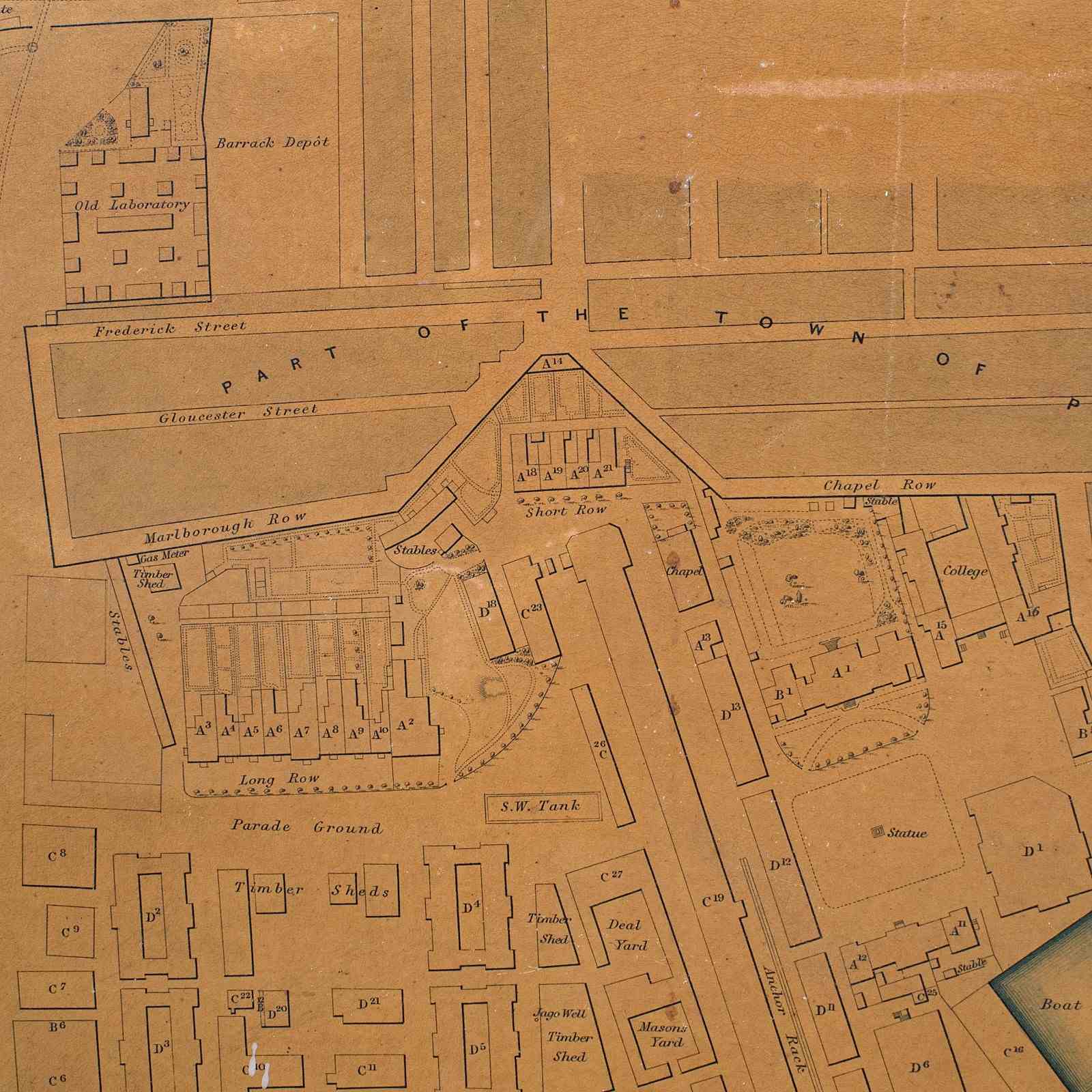
This is an antique town plan of Portsmouth Dockyard. An English, framed cartography in Naval taste, dating to the early Victorian period, circa 1850.
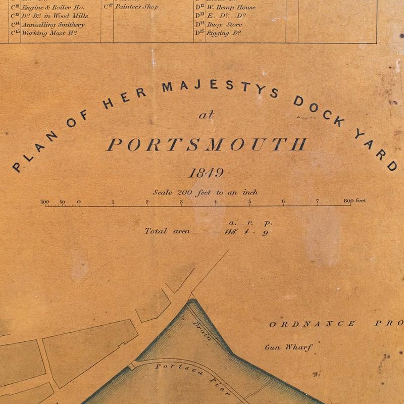
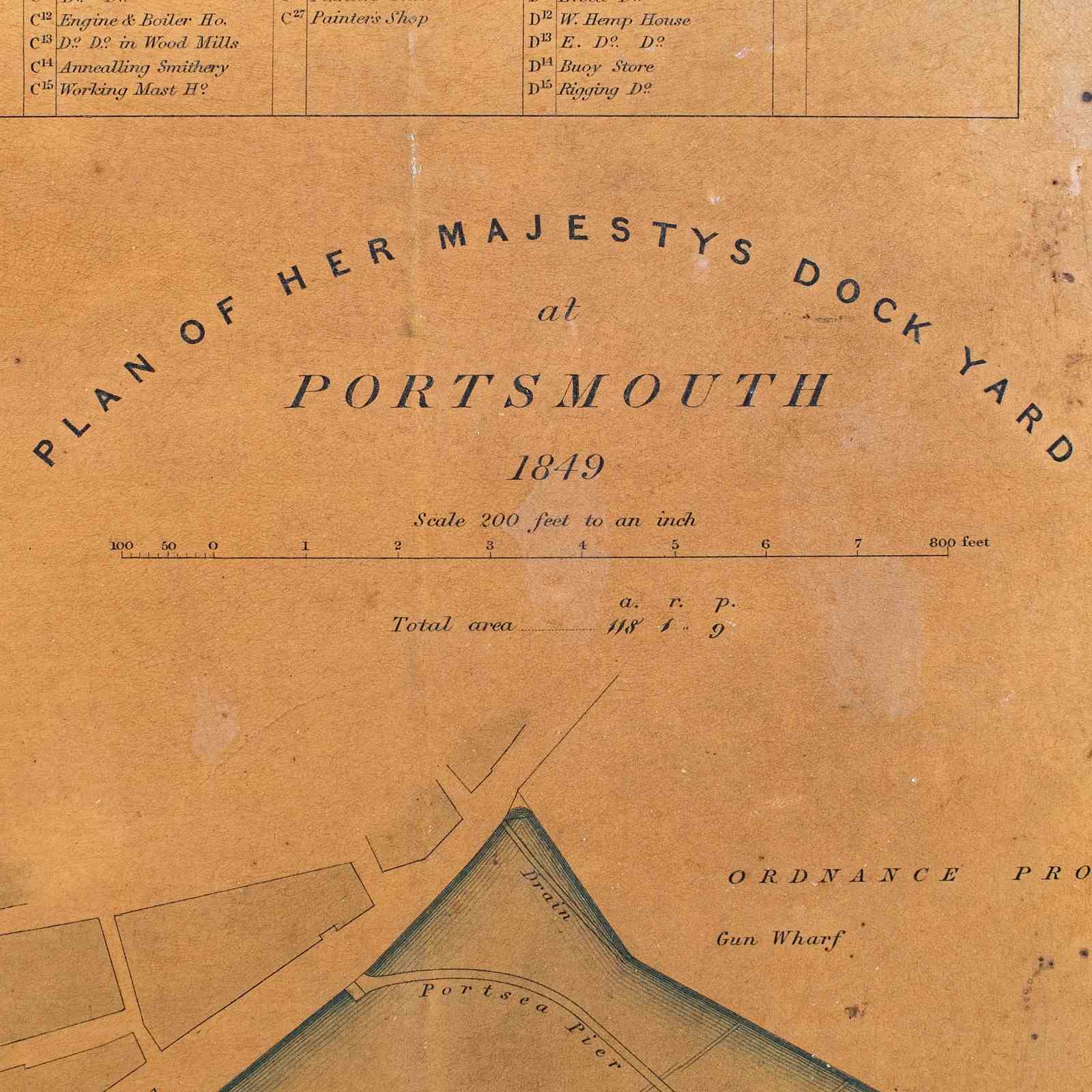
Full Title: Plan of Her Majesty's Dock Yard at Portsmouth, 1849
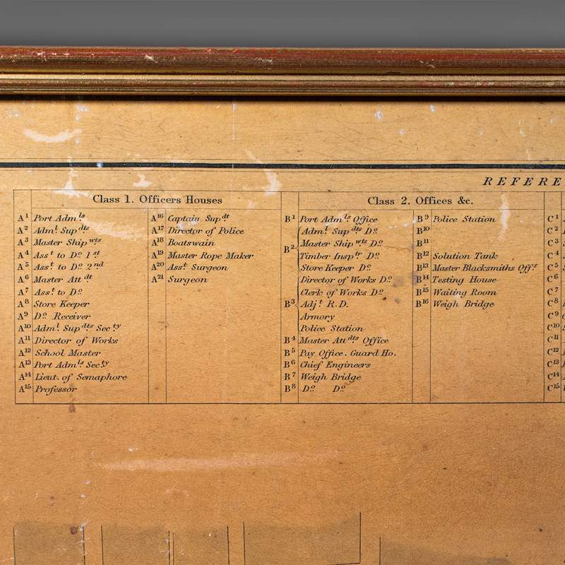
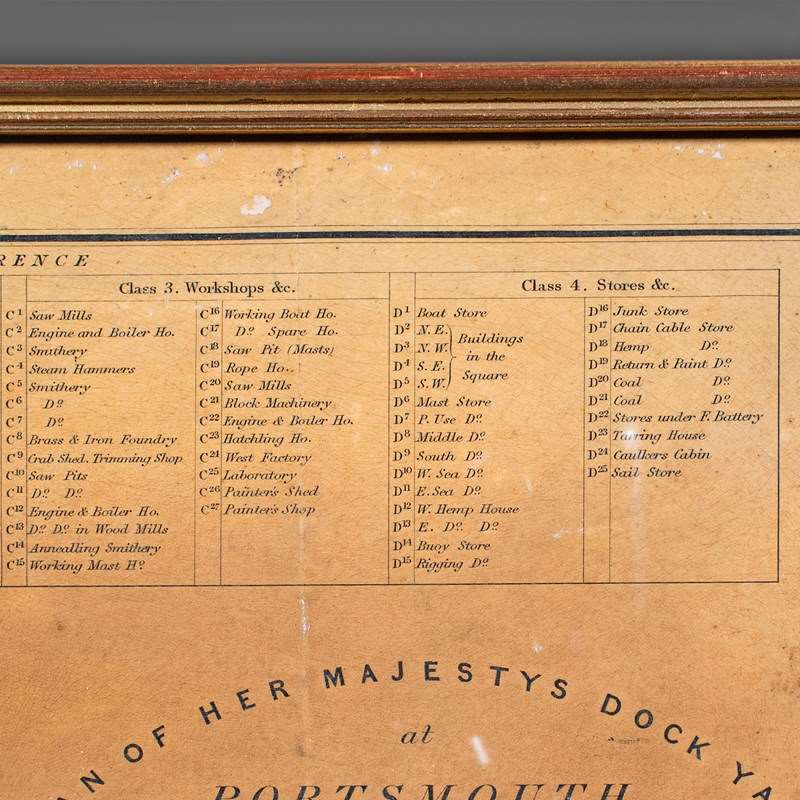
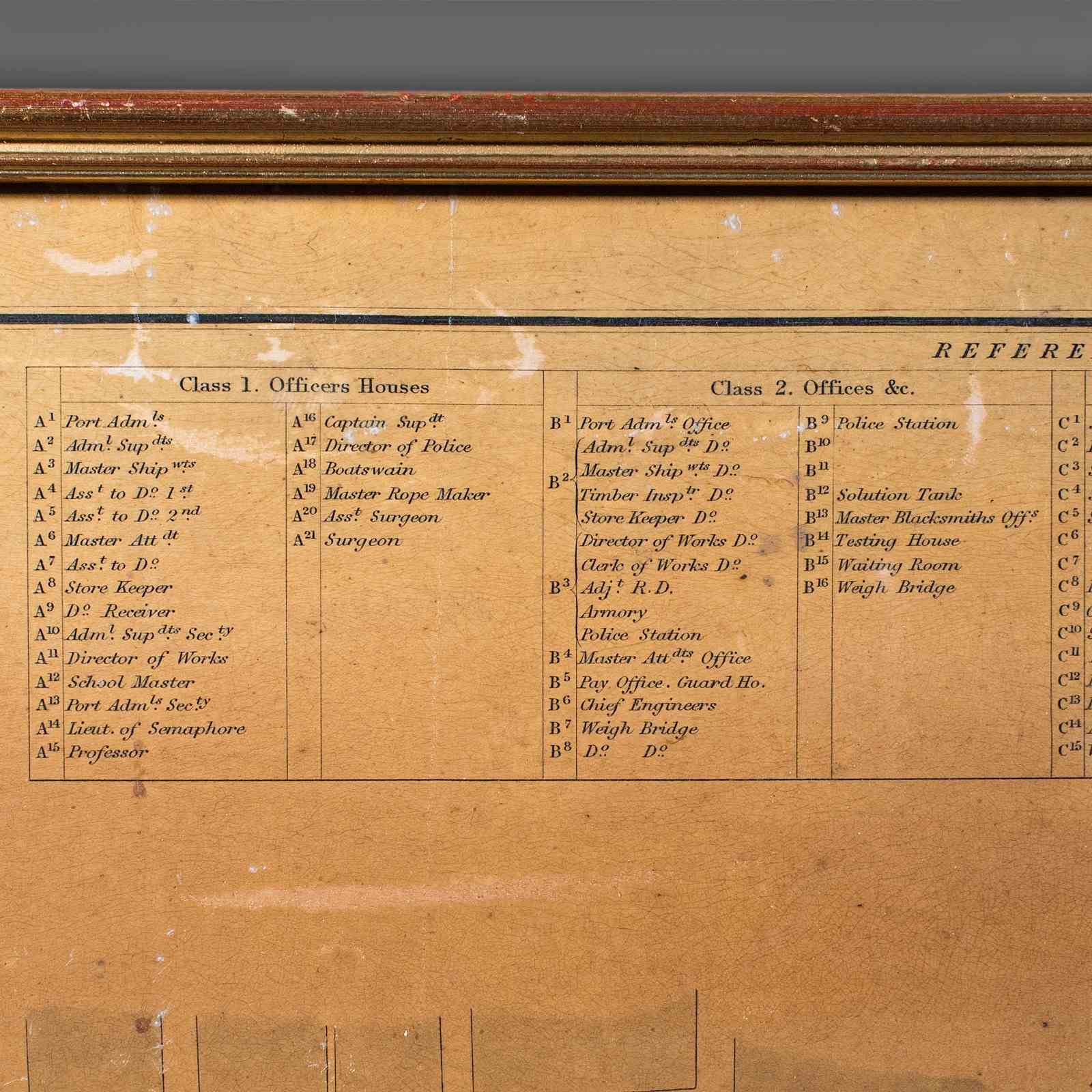
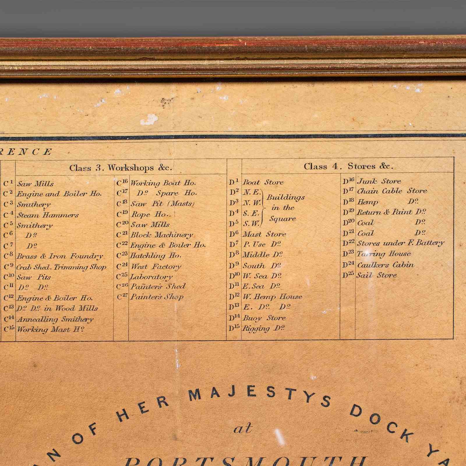
Superb town plan for the UK Naval Dockyard in Portsmouth, Hampshire
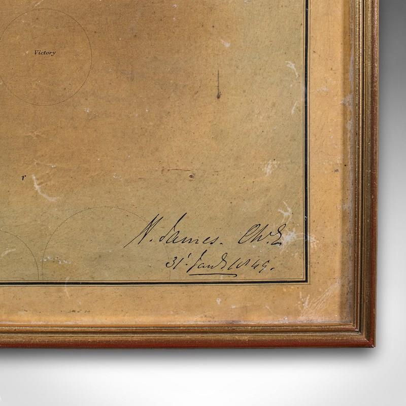
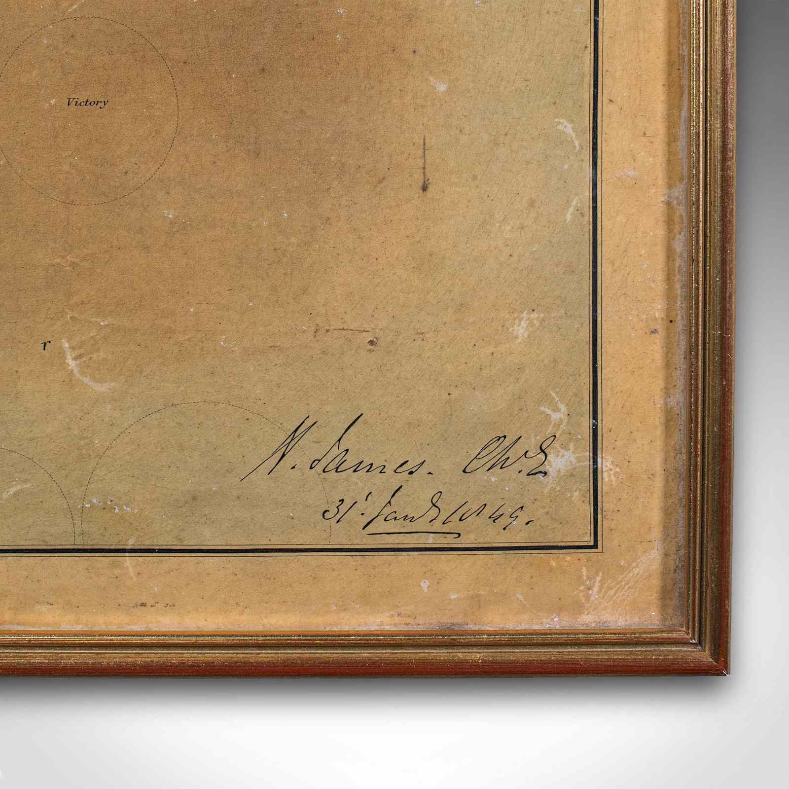
Compiled by a J. Murray in 1849 for the Director of Works, Captain H. James
James' signature to the lower right corner along with the date in 1849
Displays a desirable aged patina and in gently time worn order
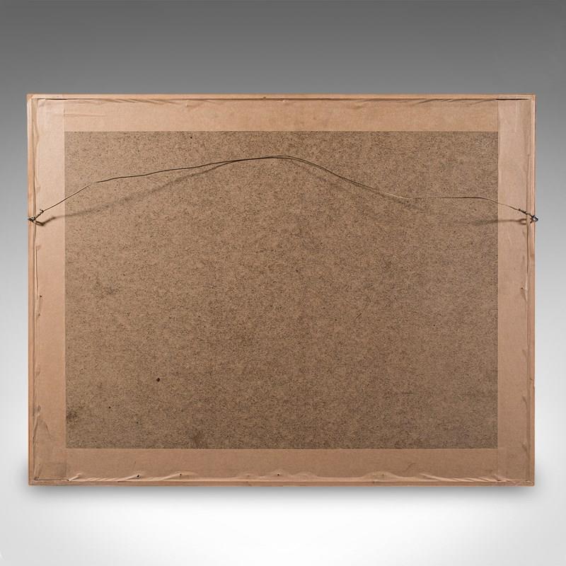
Set within a tasteful later frame, with mounting wire to the reverse
This is a fascinating antique town plan of Portsmouth and its famous naval dockyard. Ideal for residents or collectors of nautical memorabilia. Delivered ready to display.
Dimensions:
Max Width: 67cm (26.5'')
Max Depth: 1.5cm (.5'')
Max Height: 51.5cm (20.25'')
Map Width: 60cm (23.5'')
Map Height: 45.5cm (18'')
Item Info
Seller
Seller Location
Hele, Devon
Item Dimensions
H: 51.5cm W: 67cm D: 1.5cm
Period
1850s
Item Location
United Kingdom
Seller Location
Hele, Devon
Item Location
United Kingdom
Seller Contact No
+44 (0)207 1833511